DRAINAGE AREA MAPPING
WoodTrax has designed a model to create drainage area (catchment) maps based on a culvert/bridge/arch locations (pour points) on a map.
The algorithm has been tried and tested on multiple locations and proves to be more accurate than human-derived catchments.
We can provide you with PDF documents, spreadsheets, 3D- models and shapefiles of your watercourse alteration projects at an affordable price.
PROFESSIONAL AND ACCURATE
Our model is based on generally accepted hydrologic processes that we have customized for accuracy.
When you use our process your results are almost always better than what a human eye can create.
We rely on the latest data from NASA, USGS, Canadian and provincial governments.
We can accept KML, KMZ, CSV, SHP files for processing.
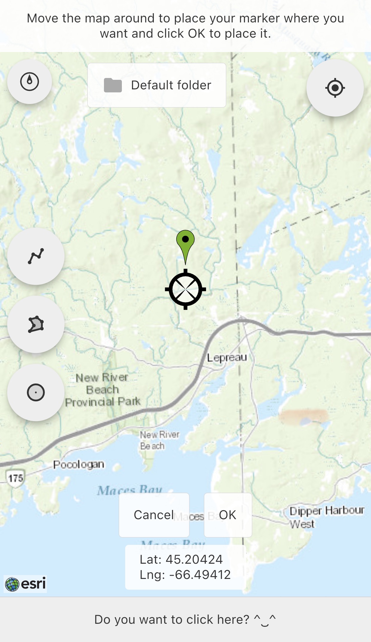
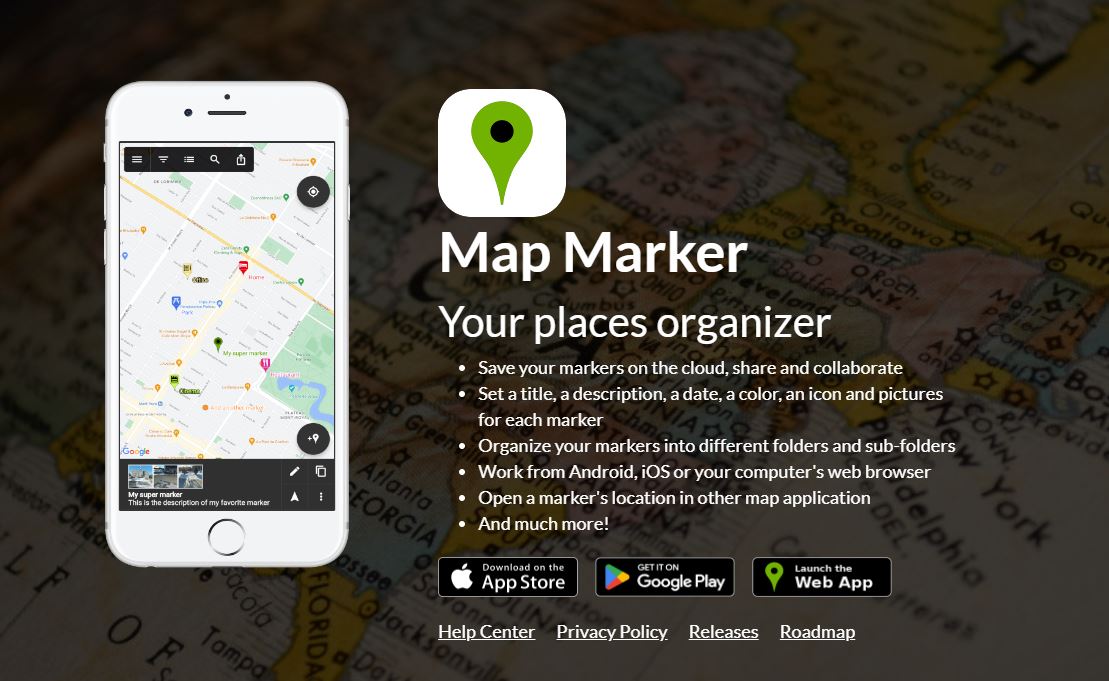
WoodTrax recommends Map Marker for mapping install points.
Combined with WoodTrax modelling, your workflow will run smoothly.
Map Marker is the ideal tool for for plotting your install locations. WoodTrax has tested a variety of apps and this FREE app outperforms them all.
- Plot your locations on the app
- Make your purchase below
- Send the location file to maps@wwodtrax.com with your payment reference id. KML file format preferred.
- You can send other formats from other applications: CSV, KML, KMZ, SHP etc. are all fine.
You can purchase a professional upgrade to Map Marker for around $15 USD and your license is good for life.
It is probably a good idea to make that purchase so the developer is motivated to continue supporting his app.
Basic
per install location
per install location (+ tax if applicable)
Premium
per install location (limited time pricing to introduce this service)
per install location (+ tax if applicable)
Upon successful payment submit your installation location file to maps@woodtrax.com. Quote your payment reference id.